QUICK READ
The project in three views.
Problem
Climate maps alone do not show which asset may be affected, through which mechanism, or which issue deserves deeper analysis.
WORKFLOW
How the components fit together.
Structure
Organise climate, assets and hazards.
Compare
Explore scenarios and time horizons.
Assess
Relate hazard, exposure and vulnerability.
Escalate
Prioritise detailed studies and adaptation.
CONTEXT
Translating climate signals into operational questions
Climate change in a mining operation requires environmental variables to be connected with assets and processes. The project integrated historical and future climate, operational assets, hazards, vulnerabilities and exposure criteria in a common analytical structure. Temperature and precipitation were organised by SSP scenario, time horizon and spatial aggregation level.
ANALYSIS
A platform designed to explore rather than recalculate
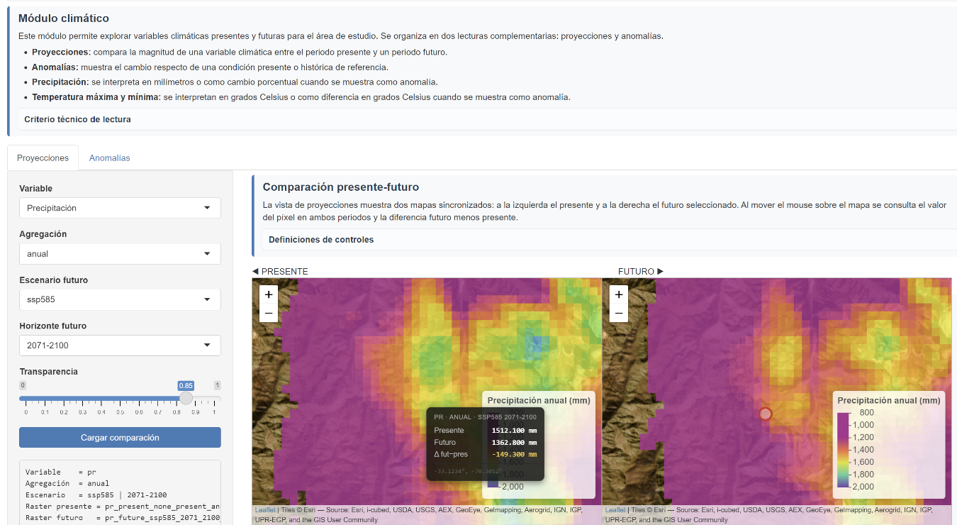
The interactive tool queries pre-processed data instead of recalculating climate models during each session. This enables more stable and reproducible exploration of large spatial datasets and consistent comparison of present and future conditions.
ANALYSIS
Risk as a relationship between processes
The methodology structures analysis around hazard, exposure, vulnerability and asset presence. The first level supports screening and prioritisation; relevant cases can then progress to more detailed physical or engineering analyses. This is especially useful where impacts depend on chained processes rather than a single climate variable.
ANALYSIS
From scenarios to decisions
The interface organises practical questions: where a hazard increases, which assets are exposed, which components are vulnerable and which risks require additional analysis. The platform acts as an intelligence layer that preserves scenario traceability and helps determine where higher-resolution analysis is worth the investment.
Project figures
See the analysis.
PROJECT VALUE
What this project demonstrates
Ability to structure large climate and geospatial datasets into a screening methodology and platform that connects scenarios with assets and decisions.
A climate projection becomes more useful when it can be traced to the asset, the impact mechanism and the next level of analysis required.
Project developed with SMI Chile.